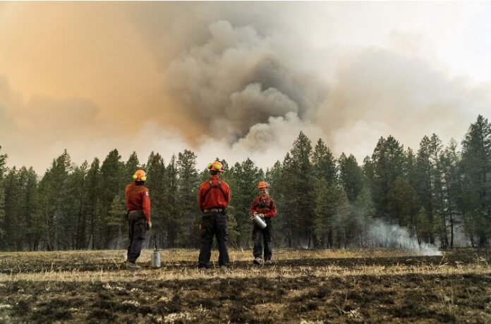
Two more fires near Cranbrook have area restrictions around them, but the one for the St. Mary River fire has been rescinded.
The Lum Creek fire 28 kilometres northeast of Cranbrook now has an area restriction.
The fire has grown to 494 hectares, was lightning-caused and discovered on July 30.
It will be in place until Oct. 15 unless rescinded earlier.
The second area restriction is around the Kamma Creek fire 27 kilometres west of Moyie Lake.
That blaze has grown to 658 hectares. It was discovered on July 19 and is also lightning caused.
The area restriction will be in place until Oct. 15 as well unless rescinded early.
Area Restriction Order details for Lum Creek:
• Commencing at the junction of Bull-Tanglefoot FSR & Tanglefoot South FSR @ [49° 39.615′, -115° 21.403′]
• Due North along the ridgeline and following the height of land to the peak of Mt Haley @ [49° 43.388′, -115° 26.684′]
• Due Southwest following the height of land to the peak of Vertical Mtn @ [49° 41.594′, -115° 31.482′]
• Due Southeast following the height of land to the peak of Mt Lum @ [49° 39.334′, -115° 28.413′]
• Due Southeast to the peak of Mt. Patmore @ [49° 37.447′, -115° 25.127′]
• Due Northeast to approximately 40km on Bullvan FSR @ [49° 38.542′, -115° 22.178′]
• Due North to connect with point of commencement at the junction of Bull-Tanglefoot FSR & Tanglefoot South FSR
Area Restriction Order details for Kamma Creek:
- Commencing at the junction of Moyie River FSR & Semlin Creek FSR @ [49° 24.603′, -115° 59.741′]
- [#1] going due Northwest following the height of land to the peak of Grassy Mtn @ [49° 28.514′, -116° 9.815′]
- [#2]; Due Southwest following the height of land to approx. 1.5km Northwest of Richmond Lake @ [49° 24.810′, -116° 12.344′]
- [#3]; Due South following the height of land to approx. 2.5km East of Cooper Lake @ [49° 19.565′, -116° 11.101′]
- [#4]; Due South following height of land to [49° 17.472′, -116° 10.330′]
- [#5]; Due East following height of land to [49° 17.213′, -116° 7.223′]
- [#6]; Due North to junction of Moyie South FSR & Moyie River Main FSR @ [49° 21.495′, -116° 5.296′]
- [#7]; Due North to connect with point of commencement at junction of Moyie River FSR & Semlin Creek FSR.


