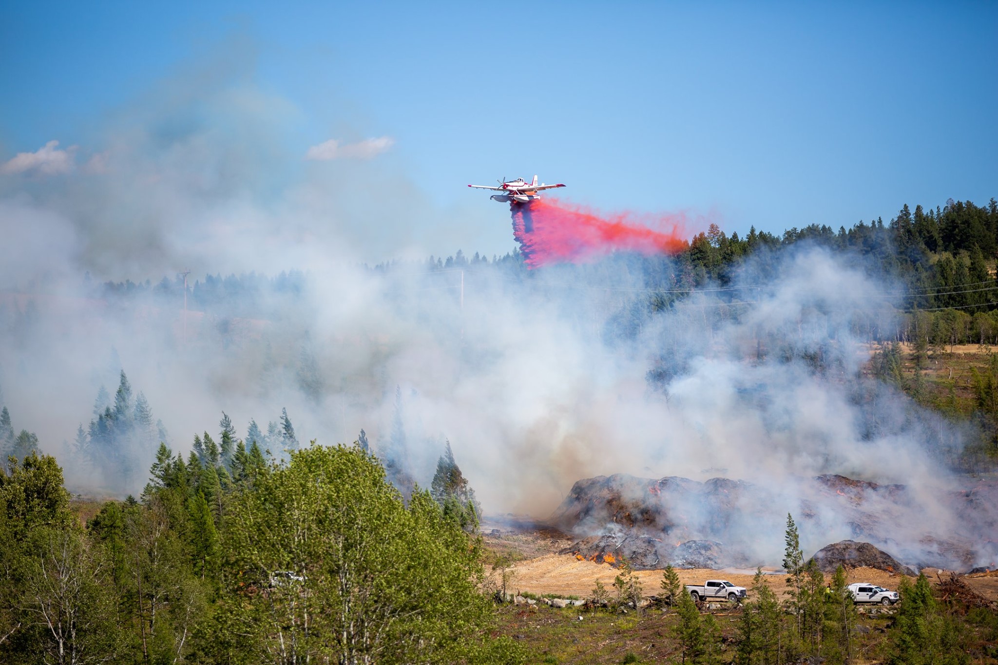
Another 12 wildfires have been sparked across the region, on top of the 16 fires that were already actively burning.
The largest new fire is burning across 11 hectares near Big Lake about one kilometre east of Highway 93, south of Wasa.
The remaining new fires are all under one hectare in size.
Nearby, a smaller 0.19-hectare fire is burning in the Louis Creek area.
Two fires are active close by one another near Phillips Creek, one is 0.1 and the other is 0.01 hectares. They are about one kilometre east of Highway 93, north of Roosville.
A 0.01-hectare wildfire is burning at the mouth of the Elk River, south of Baynes Lake. Across the water, another fire approximately the same size is active south of the Elk River.
South of there, a fire in the Anguish Pond area is burning at about 0.1 hectares in size west of Dorr Cut-off Road.
About one kilometre east of Koocanusa and just north of Dorr West Road, yet another new fire was discovered. It is estimated to be 0.71 hectares in size.
Another two wildfires are burning close to each other, near the Jim/Teepee creek area. They are estimated to be 0.1 and 0.01 hectares.
BC Wildfire Service officials believe all of these wildfires were caused by lightning strikes.
The cause of the last new wildfire is unknown, it is 0.01 hectare and is burning in the Ranger Lake area.
Meanwhile, six wildfires continue to burn out of control across the region.
The largest fire is burning at an estimated 460 hectares in the Cultus Creek area, about eight kilometres west of Kootenay Lake.
Southeast of Kianuko Provincial Park, the fire near Kamma Creek is estimated to be burning across 140 hectares of forest.
About 11 kilometres east of Kootenay Lake, a 100-hectare wildfire is active in the Redding Creek area. Another is close by and estimated to be 95 hectares in size near Akokli Creek.
North of there, a 5-hectare wildfire is burning out of control near Corney Creek in the Purcell Wilderness Conservancy Provincial Park area.
The smallest out-of-control wildfire is a 0.6-hectare burn in the Bill Nye Mountain area, southeast of Wasa.
A 0.04-hectare fire about 8 kilometres away from White Swan Forest Service Road is now being held along with a 26-hectare burn in the Granite Creek area, in the Purcell Mountains.
A 3-hectare lightning-caused fire south of Canal Flats on the west side of Kootenay River is now under control.
The remaining fires are also under control, including a 1.1-hectare wildfire in the Galloway area after it prompted an Evacuation Order of 46 nearby properties on Thursday. Residents have since been allowed to return to their homes.
More: Evacuation Order for Caithness Mobile Home Park lifted (July 8, 2021)
A 29-hectare wildfire in the Moyie River area, a 5-hectare wildfire in Dry Creek north of Canal Flats and the 1.5 hectare Bear Creek fire east of Invermere are all under control. Small fires near Barkshanty Creek, about a Kilometre and a half east of Moyie Lake, and Teepee creek are under control. They are 0.1 and 0.01 hectares respectively.


