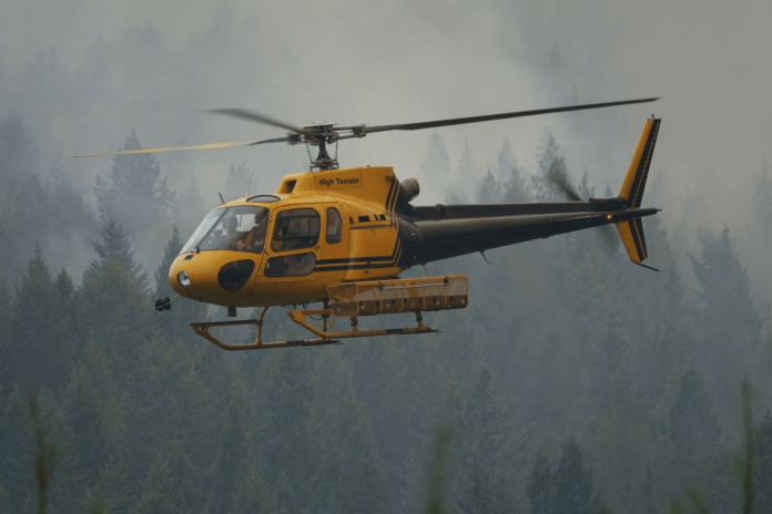
Hot and dry weather combined with high winds and lightning led to more intense wildfire conditions across the southeast part province this week.
BC Wildfire Service officials said they expect increased fire behaviour in the coming days.
“Crews will be prioritizing the safety of responders and the public during expected challenging weather,” said BCWS officials. “Initial attack crews continue to be successful suppressing new fire starts and are playing a vital role in reducing risks posed by wildfire across the region. Initial attack success also means resources can remain committed to large fires burning in the Southeast.”
Officials said the Lladnar Creek and Mount Bingay wildfires in the Elk Valley are now being managed as the Elk Valley Complex.
As of Friday afternoon, the Mount Bingay wildfire is just over 1,000 hectares.
“The fire grew to the east during strong winds yesterday afternoon, crossing the Elk River and spreading up slope. Since growth during the peak burning period on Thursday, there was limited fire growth observed overnight into this morning,” said BCWS officials. “Any growth has been primarily north and east, away from populated areas.”
Meanwhile, the Lladnar Creek wildfire is 1,246 hectares in size.
“As elevated winds, low humidity, and warm temperatures are expected to continue today, fire behaviour is expected to become more visible to the surrounding areas, primarily in upper elevations on the north as winds are forecast to be higher at elevation than valley bottom,” said the BCWS.
North of there, the Horsethief Creek wildfire has grown to 3,918 hectares.
“Hot, dry winds will result in vigorous fire behaviour overnight [Friday] and throughout tomorrow [Saturday],” said the BCWS. “Preparation has begun for defensive operations around Panorama if required.”
Crews are monitoring the Mia Creek wildfire, which has grown to 3,437 hectares.
“Fire growth is being monitored and they are looking to establish anchors to guards for ignition opportunities,” said BCWS officials. “Crew safety is being prioritized until suitable anchor point and escape routes can be established with current predicted fire behaviour.”
BCWS officials predict windy conditions to fan the flames until Friday evening.
“Gusty southwest winds moving ahead of a cold front will gradually shift to northerly or northwesterly by Friday evening. Wind speeds will range from 10 -25 km/hr with gusts as high as 50 km/hr,” said the BCWS. “Temperatures trend eight or more degrees cooler across most of the region. The Boundary Zone is expected to remain hot with afternoon highs above 30 degrees.”
The forecast has some rain early next week, but it might not be enough to ease the pressure.
“Sunday, a subtropical feed will begin moving up from the south. Rain is forecast to start on Monday for the eastern half of the Fire Centre. The rain will continue in the east on Tuesday, with an increasing risk of dry lightning for the Boundary, Monashee and Valhalla areas,” said the BCWS.
On Tuesday, the Wildfire Service expects temperatures to climb back above seasonal normals, with unsettled weather in the west and a drying trend to the east.


