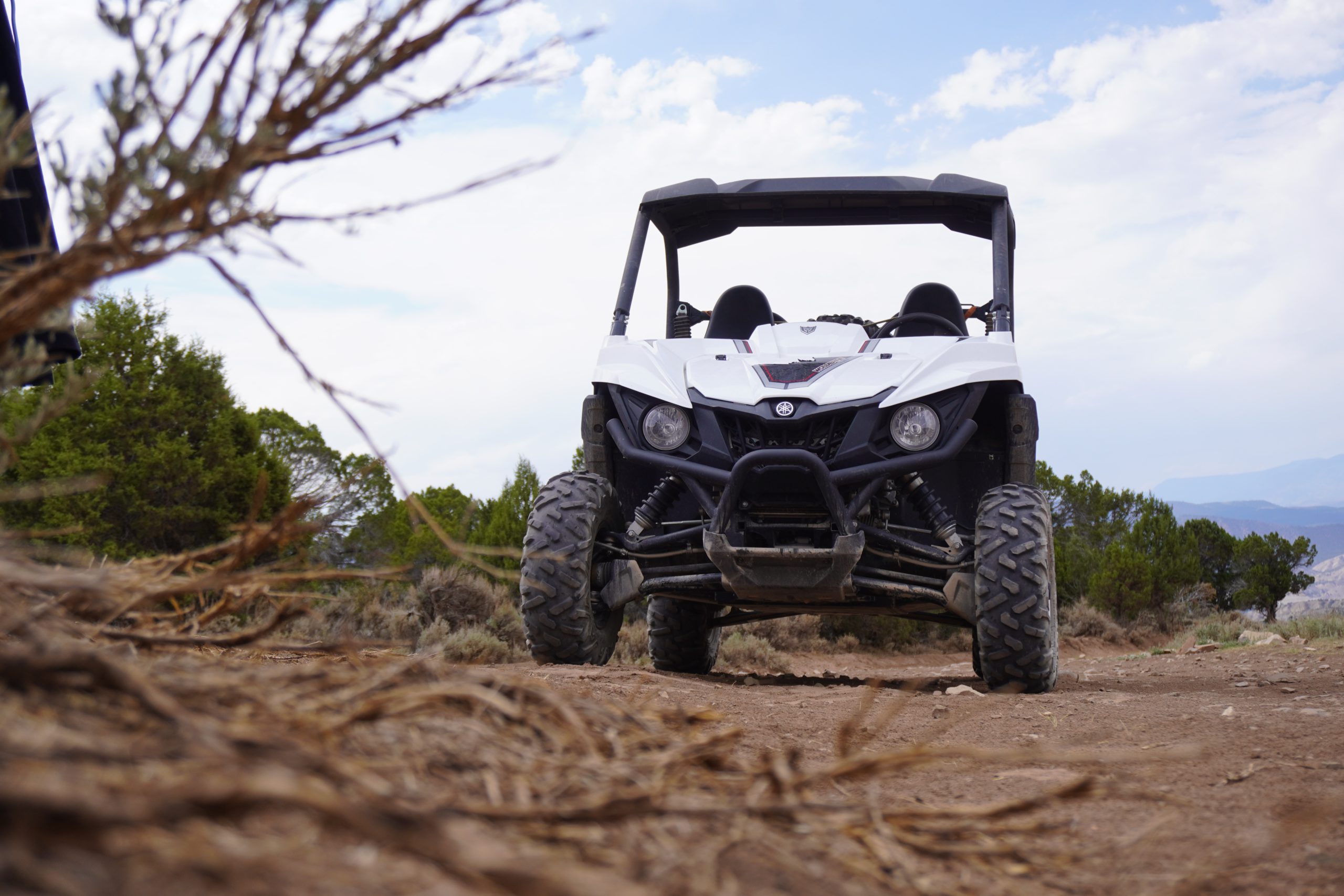
ATVers and recreationists around the Lewis Creek area are out of luck.
The B.C. government is continuing its motor vehicle ban in the Lewis Creek area as the land continues to recover from last year’s wildfires.
The closed areas include up around Mount Stevens, around Mount Bill Nye, along Lazy Lake Road and down below Lakit Mountain.
The full closure can be found below.
MORE: Lewis Creek motor vehicle prohibition map (B.C. government)
Vehicles, ATVs, motorcycles and electric bikes are included in the ban.
Provincial officials say signs are posted in some areas but it’s your duty to research which areas are closed before going out.
There are a couple of exceptions, however.
Access for commercial activities in the area, other than hunting, can continue, as well as roads used to access private property, or ones highlighted in green on the map.


