â–º Listen Live

BCCDC launches map tracking high-risk Lyme disease zones

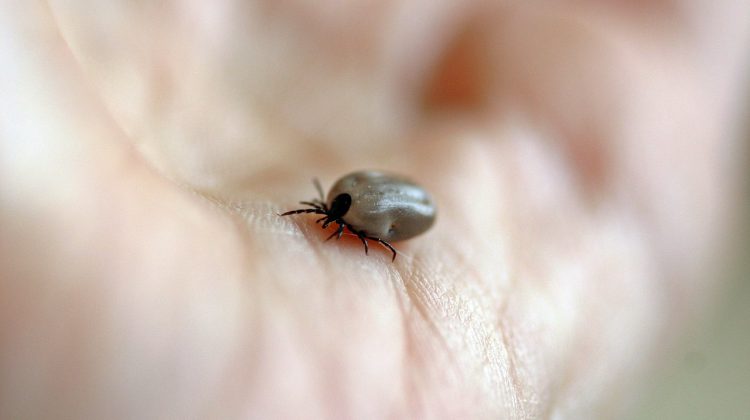
The BC Centre for Disease Control has launched a new interactive map, tracking areas in the province with a high risk of ticks carrying Lyme disease.

Multiple communities in the Kootenays are considered to be at higher risk.

In the East Kootenay, this includes areas around Cranbrook and along the Bull River down to the border.

In the West Kootenay, areas around Castlegar, Trail and Fruitvale are at higher risk.

BCCDC officials say the risk of getting Lyme disease in B.C. is lower than in other provinces, but you should still be aware of the risks before heading out.

Approximately 1 in 100 ticks carry Lyme disease in B.C.

To reduce the risk of being bitten by a tick, the BCCDC recommends applying insect repellent, walking on cleared paths and tucking clothing in.

MORE: Interactive Map (BCCDC)

Josiah Spyker
Josiah Spyker
Josiah is an integral part of our East Kootenay team. Since joining Vista Radio in 2021, he has combined his love of community and sport in his reporting for the news team, while also stepping in as an on-air announcer.

Continue Reading

cfsm Now playing play

- Advertisement -

Related Articles

- Advertisement -

Latest News

Canadian Indigenous Music

Explore the vibrant world of Canadian Indigenous music with our curated list of talented Indigenous artists from across the country.

News Alert Sign Up

Be the first to know! Whenever there's breaking news in...

Now Hiring

Local business looking for new employees!

Lost Kootenays: A portal into our past

What started off as a Facebook group, Lost Kootenays...

Secret Sound

One Sound ... One Guess ... and a Jackpot...
- Advertisement -