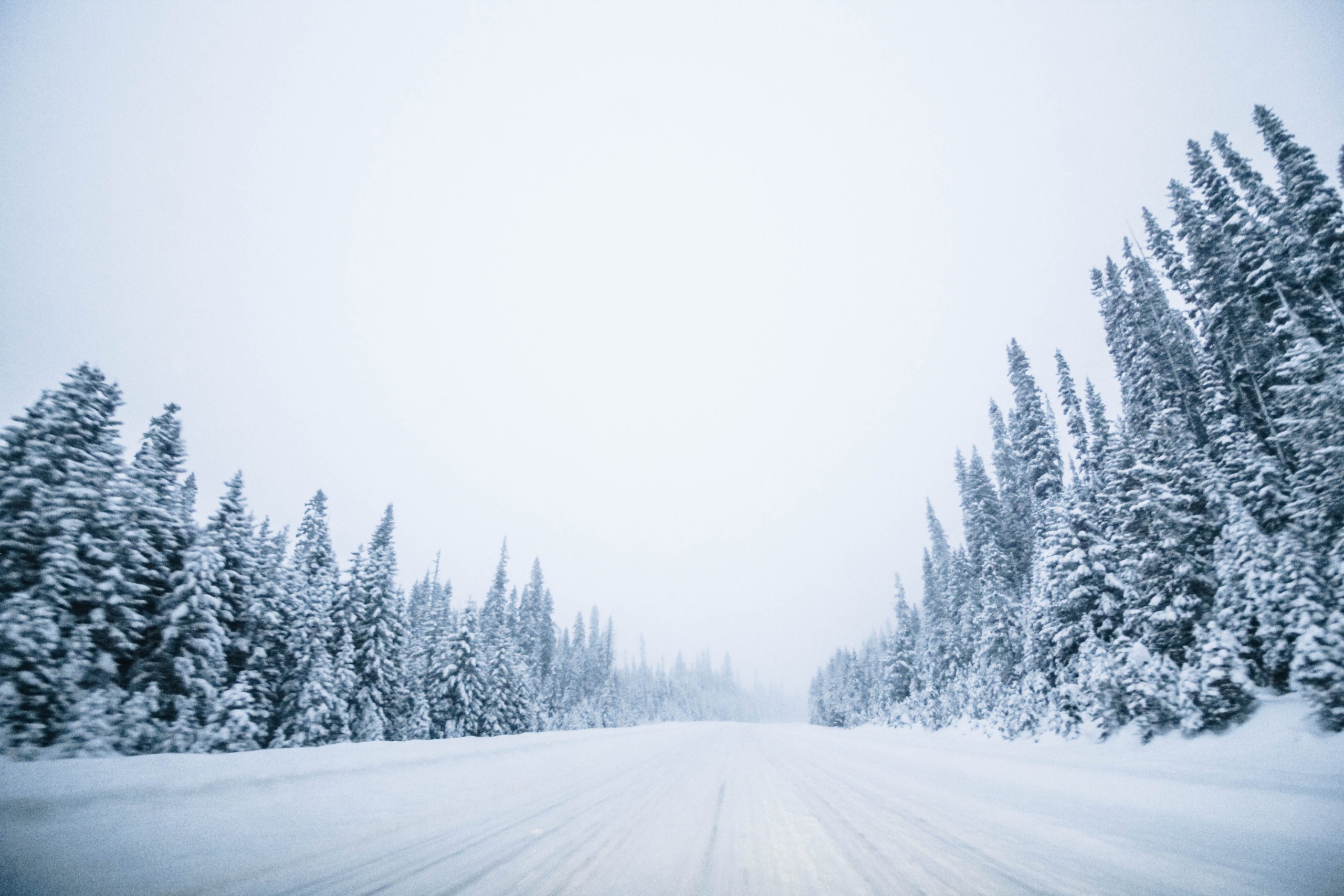
Roadways in the Elk Valley and along highways in the West Kootenay may be treacherous, as Environment Canada predicts heavy snow, followed shortly after by rain.
In the Elk Valley, Environment Canada officials said the area is expected to see up to 15 centimetres of snow on Monday before temperatures warm up, and it changes to rain later on in the day.
The forecaster predicts a risk of freezing rain during the transition period.
Heavy rain is possible in the evening, particularly in the Fernie area.
Over on Highway 3, similar weather conditions are predicted for Paulson Summit to Kootenay Pass.
Snow accumulations are expected to reach 40 to 50 centimetres before it starts to rain on Monday evening.
At higher elevations, snow is expected to continue falling until Tuesday.
North of there, on the Trans-Canada Highway, nearly 30 centimetres of snow is expected to fall between Eagle Pass to Rogers Pass.
The snowfall is expected to be heaviest on Monday afternoon and continue until Tuesday.
As temperatures rise, snow will change to rain on Tuesday morning, with snowfall continuing at higher elevations.
“Consider postponing non-essential travel until conditions improve. Surfaces such as highways, roads, walkways and parking lots may become difficult to navigate due to accumulating snow. Visibility may be suddenly reduced at times in heavy snow. Surfaces such as highways, roads, walkways and parking lots will become icy, slippery and hazardous,” said Environment Canada officials. “Melting snow could result in slippery and slushy conditions on the roads. Be prepared to adjust your driving with changing road conditions.”


