The BC Wildfire Service (BCWS) has reduced the size of the area restrictions around the Redding and Akokli Creek fires.
BCWS officials said fires located northeast of Boswell, along the east shore of Kootenay Lake, have had reduced activity because of recent weather and efforts by firefighters.
The Akokli Creek fire was first discovered on July 9th, and has since grown to an estimated 3,636 hectares in size. The BCWS believes the fire was sparked by a lightning strike.
The 972-hectare Redding Creek wildfire was first discovered on July 11th; it is also believed to have been caused by a lightning strike.
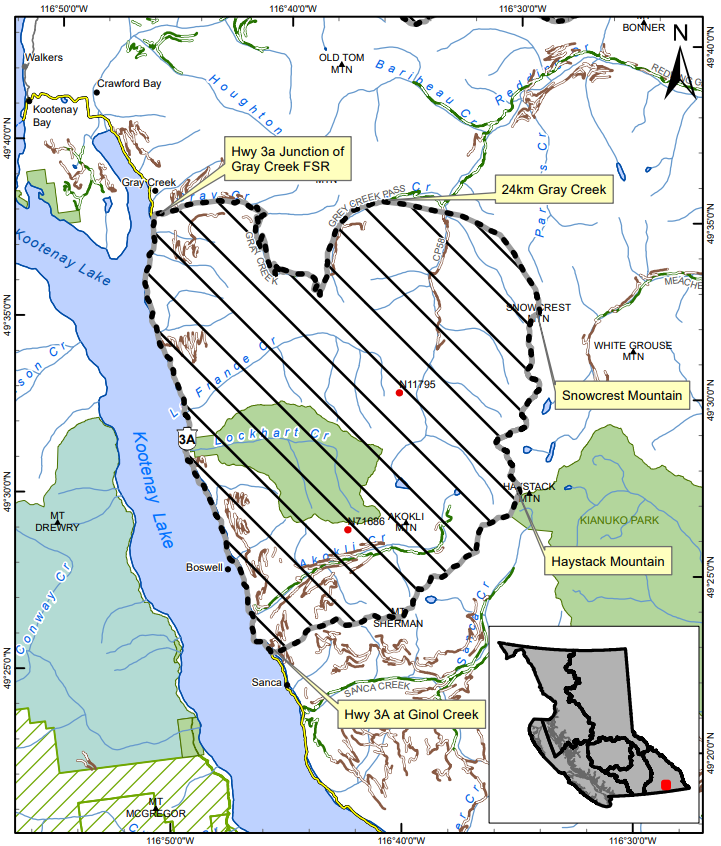
The area restriction around the fire will be in place until October 15th or until it is rescinded, and applies to crown land in the areas outlined on the map at the bottom of this article.
The area restriction means that the public will only be able to enter and exit the vicinity for specific reasons, such as using the highway, travelling to and from your home, as long it is not under an evacuation order, or if you are helping firefighting efforts.